

Drone Mapping
Precision Agriculture Elevated
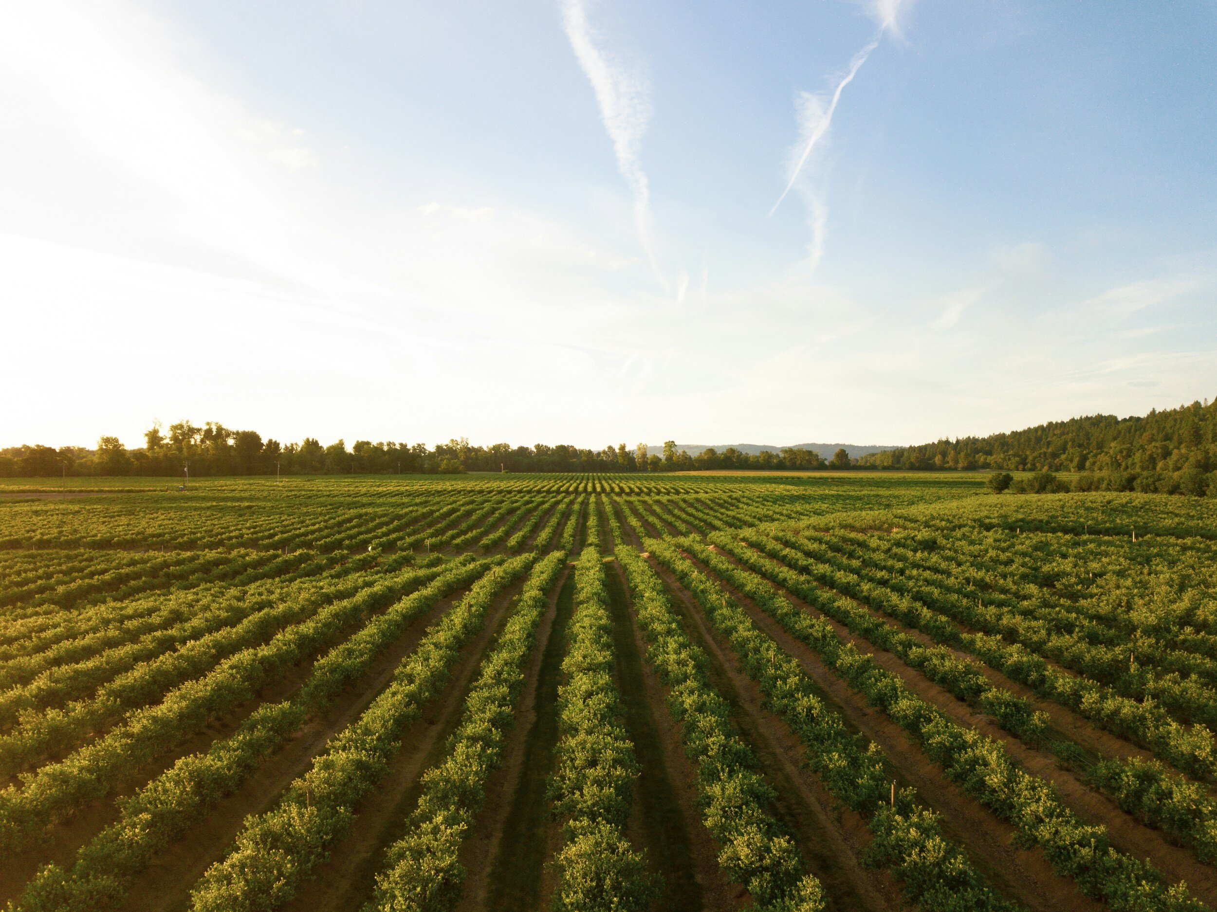
In the dynamic field of modern agriculture, where efficiency and precision are paramount, agricultural drone mapping stands out as a revolutionary tool, transforming the way we understand, manage, and enhance production.
At its core, agricultural drone mapping involves the use of advanced drones equipped with multispectral imaging technology and high-resolution sensors to capture detailed images of farmland from the sky.
This innovative approach enables farmers, agronomists, and land managers to obtain a comprehensive view of their fields, facilitating informed decision-making and precision agriculture practices.

Applications and Benefits
-
By analysing the captured images, farmers can monitor crop health, identify stress factors such as disease, pests, or nutrient deficiencies, and take targeted action to mitigate these issues.
-
Drones provide valuable data for predicting crop yields, allowing farmers to make informed decisions about crop management and marketing strategies.
-
Detailed maps help in understanding soil variability, optimising planting patterns, and implementing precise soil management practices to enhance crop production.
-
Drone data can identify variability in moisture levels across fields, guiding the efficient use of water resources and optimising irrigation systems.
-
By pinpointing specific areas where pest pressure is high, drones allow for targeted pest control measures, reducing the need for broad-spectrum pesticide
Why Agricultural Drone Mapping?

Reduced Costs
Precision agriculture enabled by drone mapping minimises the wastage of seeds, fertilisers, and water, leading to significant cost savings.

Increased Crop Yields
Through detailed monitoring and analysis, farmers and experts can enhance crop health and productivity, leading to higher yields.

Sustainability
By optimising resource use and reducing the need for chemicals, drone mapping contributes to more environmentally friendly farming practices.

Data-Driven Decisions
The comprehensive data and insights provided by drone mapping empower farmers to make informed decisions, improving the overall efficiency and productivity of their farming operations.